 X
X
 facebook
 WhatsApp
 Email
Email
Introduction
Live Earth map - World map, Satellite view 3D is your all-in-one navigational companion for all your travel needs. With features like Street View maps, Voice Navigation, GPS Tools, and Tourist Attractions, this app is perfect for road trips, airplane journeys, or sea voyages on a cruise ship. Say goodbye to carrying multiple apps - Live Earth Map View has got you covered with everything you need, including up-to-date weather information. Whether you're exploring a new city or embarking on an adventure, Live Earth Map View is always there to guide you with its detailed 3D satellite view.
Features of Live Earth map - World map, Satellite view 3D:
Comprehensive navigational features including Street View maps, Voice Navigation, and GPS Tools.
Interactive 3D Satellite view for a more realistic understanding of the world map.
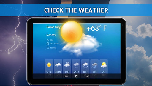
Access to Tourist attractions and Weather information for easy trip planning.
All-in-one app for Road Trips, aeroplane Trips, and sea voyages on Cruise ships.
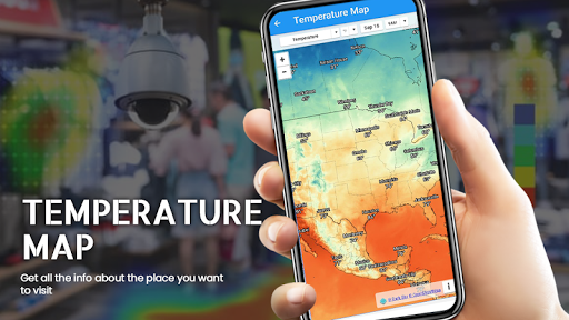
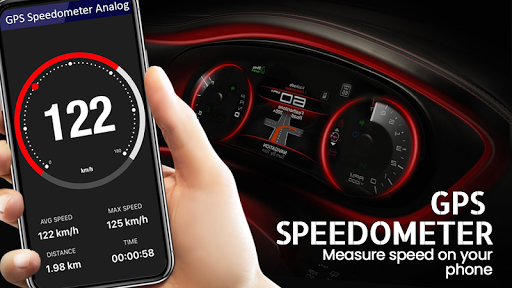
User-friendly interface with easy-to-use tools like Compass, Speedometer, and Temperature maps.
Stay connected with Live Earth View 2020 for all your navigational needs and travel assistance.
Conclusion:
For travelers seeking a reliable navigational tool, Live Earth map - World map, Satellite view 3D is the perfect solution. This app offers an extensive array of features combined with an intuitive interface, making it essential for anyone planning a journey, whether by road, air, or sea. Download it today and explore the world like never before!
Information
User Comments

RidePueblo puts real-time transit information in your pocket so residents and visitors can navigate public transportation across the City of Pueblo with confidence. The app displays live arrival times and moving vehicle locations on an interactive map, shows route maps and timetables, and locates nearby stops based on your current GPS position. Whether you commute, attend classes, or are visiting for an event, RidePueblo helps reduce uncertainty by delivering current transit details in a compact, phone-friendly interface.

77 Transporte - Motorista is a dedicated driver app built to help professional drivers receive, evaluate and manage ride requests with speed and clarity. 77 Transporte - Motorista places emphasis on essential tools — timely trip alerts, a visible distance preview to help you decide whether to accept, and a direct call option that uses your device carrier for voice communication — so drivers can remain productive during active hours without unnecessary features getting in the way.

IZI Recarga EV is a practical mobile app designed to help electric vehicle drivers locate charging points, start and monitor charging sessions, and track consumption so everyday charging is simpler and more sustainable. The app puts a searchable map and session controls in your hands, offers clear billing and usage history to help plan trips and manage running costs, and connects drivers to a network of stations that prioritize renewable energy and predictable service.

Surf Life Log is a compact surfing logbook app that helps surfers record sessions, track conditions and choose better spots. The app lets you save date and time, location, wave size, wind direction and force, crowd level, photos, notes and personal ratings so you can review past rides and identify what works. Built for individual device use, Surf Life Log visualizes your activity with simple statistics and charts and includes a map-based surf-spot search. Surfers who want organized logs and clear insights into their preferred conditions will find this tool practical and straightforward.

ES Car - Motorista is a driver-focused mobile app built to connect professional drivers with nearby ride requests, enabling them to accept trips, manage pickups and improve daily earnings with clear, practical tools. The interface prioritizes real-time notifications so drivers see incoming offers immediately, and ES Car - Motorista gives a quick distance preview before a driver commits to a booking. With pre-registered users and an option to call passengers directly through the app for urgent coordination, the design emphasizes predictable interactions and safer exchanges between drivers and riders.

AUVES is a private transportation app designed to make requesting rides quick and predictable from your Android device; AUVES appears in this description to help you identify the service and understand how it fits into daily travel. From the initial booking screen you can set a pickup location, enter or select a destination, and review an estimated fare before confirming a trip. The app is built around straightforward controls and clear trip information so that both occasional users and regular commuters can complete bookings in seconds and monitor the ride in real time.