

 X
 facebook
 WhatsApp
 Email
Introduction
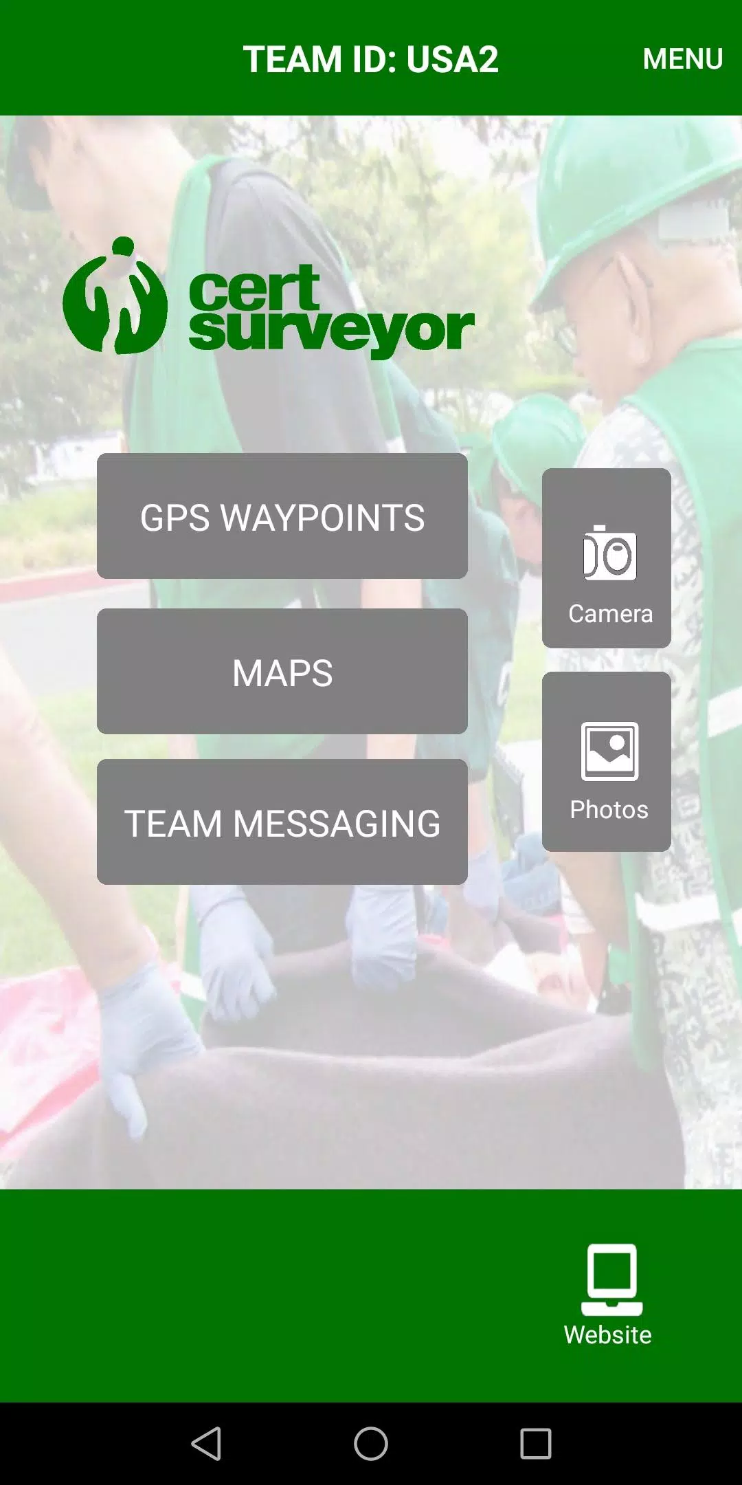
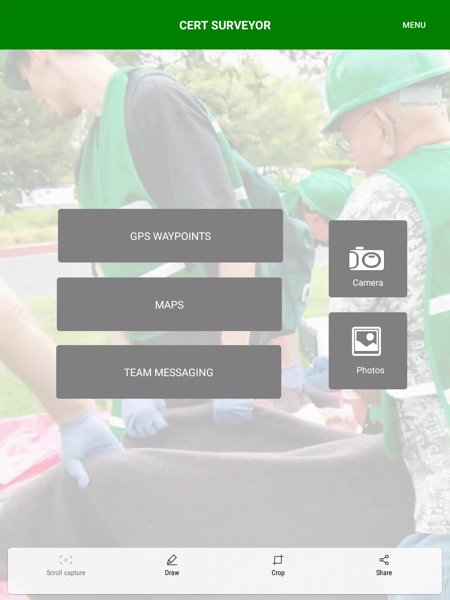
CERT Surveyor is a mobile mapping and data-collection tool designed for community emergency responders who must record locations, incidents and observations quickly and reliably during search-and-rescue and disaster response. CERT Surveyor places familiar CERT icons, waypoint tools and map overlays within easy reach so volunteers and field teams can mark hazards, victims, access routes and reference points without slowing down a mission. The app focuses on simple, repeatable workflows that enable responders to capture geodata in a structured way and later export or sync that information for analysis and coordination.
Core features and workflow
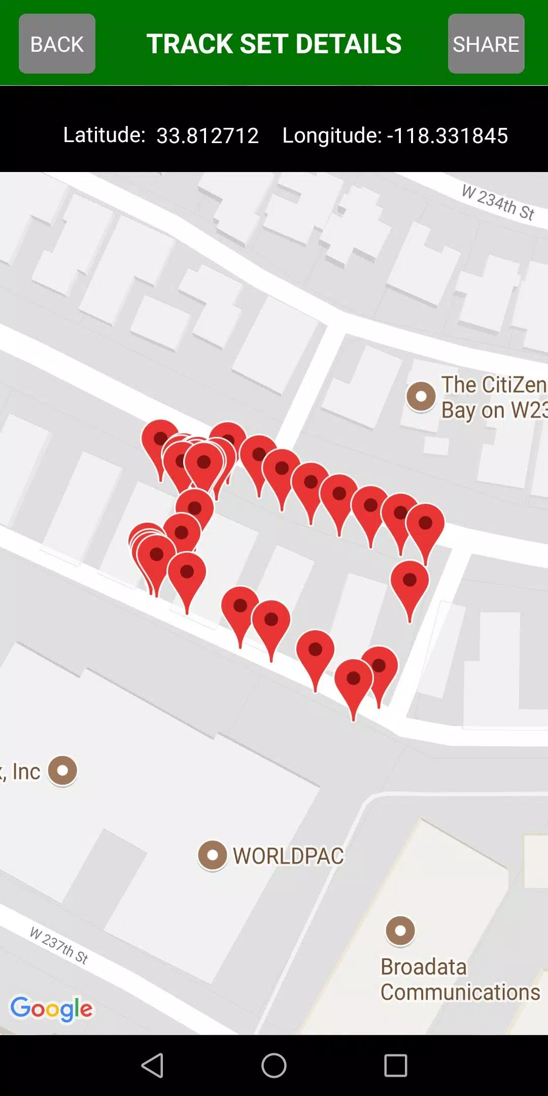
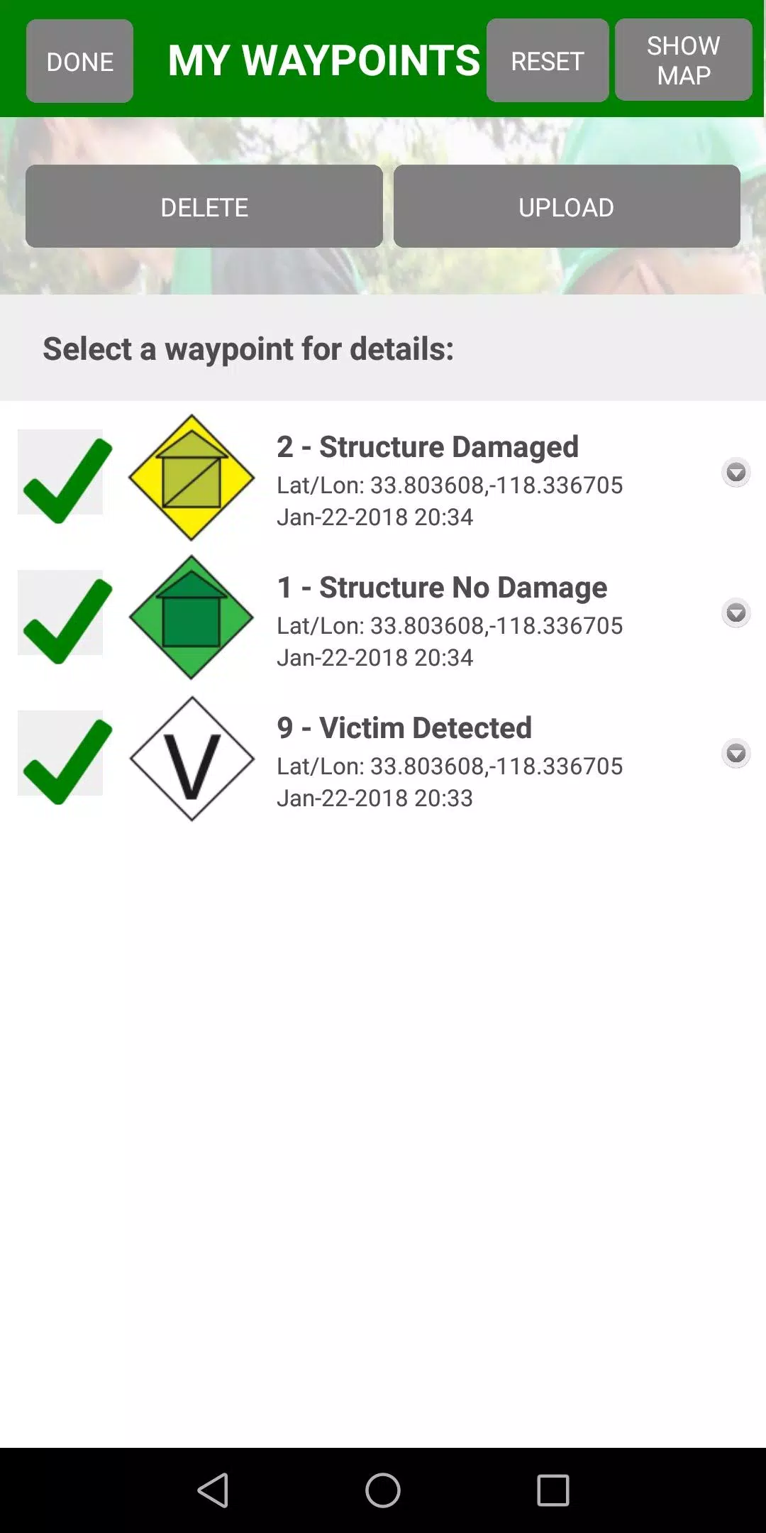
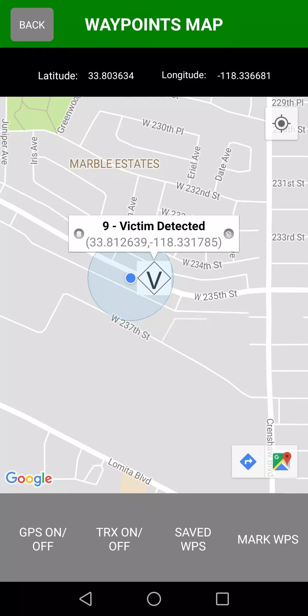
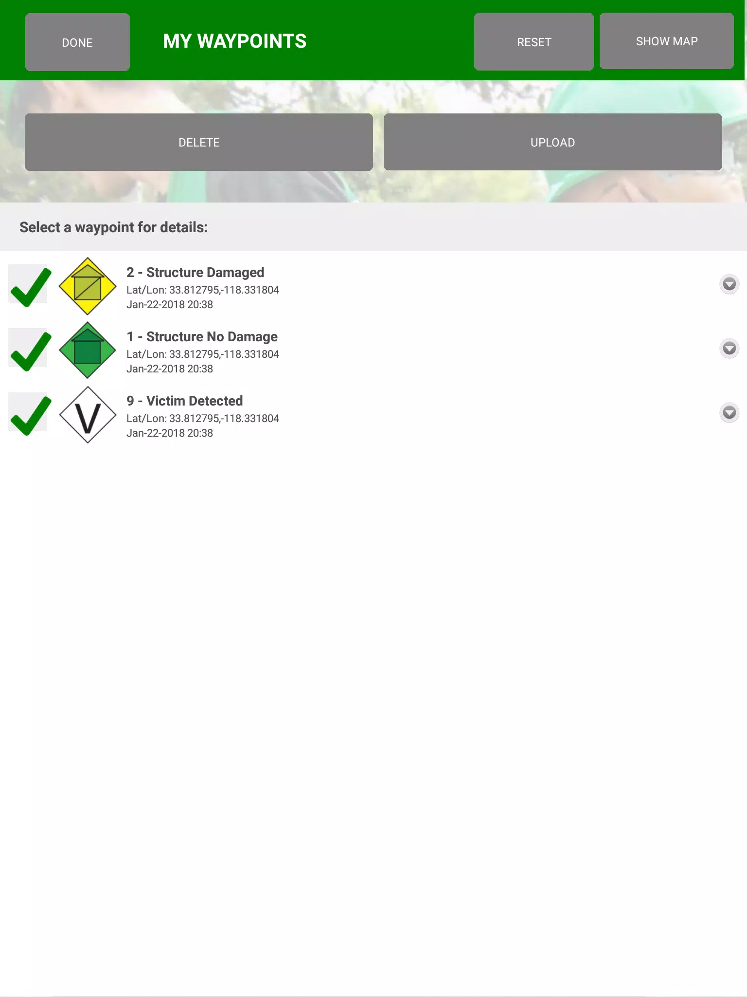
The app streamlines waypoint placement, custom track creation and PDF map imports so teams can operate from existing charts and local reference maps. Waypoints use a set of CERT-specific icons that map to common field observations; each waypoint supports short notes, status flags and optional timestamps to record the sequence of events. Tracks are recorded with configurable time and distance intervals to match different search patterns, allowing teams to capture continuous movement or sparse breadcrumbs depending on battery life and mission needs. Export is supported in standard KML and GPX formats for integration with desktop GIS and incident-management tools.
Controls and user experience
The interface emphasizes quick, one-handed controls for field use: tap to place a waypoint, long-press to open editing options, pinch to zoom maps and drag overlays for alignment. Forms for waypoint details are streamlined to reduce typing; predefined categories and quick-select buttons minimize fumbling under stress. Map navigation supports compass and north-up modes, and a compact status bar shows GPS accuracy and battery impact so users can make informed choices about tracking intervals. CERT Surveyor aims to keep common actions within two taps or gestures to maintain momentum during operations.
Data management, sync and team coordination
Collected data is stored locally until a user chooses to upload to a central account, enabling field collection in low- or no-connectivity situations with later synchronization when a network is available. When synchronized, uploads are grouped by incident or team code so leaders can review consolidated datasets for post-incident analysis. The Team Leader Edition provides a management view that helps supervisors monitor responder check-ins and aggregate waypoint counts under a shared team code; this model preserves offline-first collection while enabling centralized coordination once connectivity permits.
Customization, visual style and map overlays
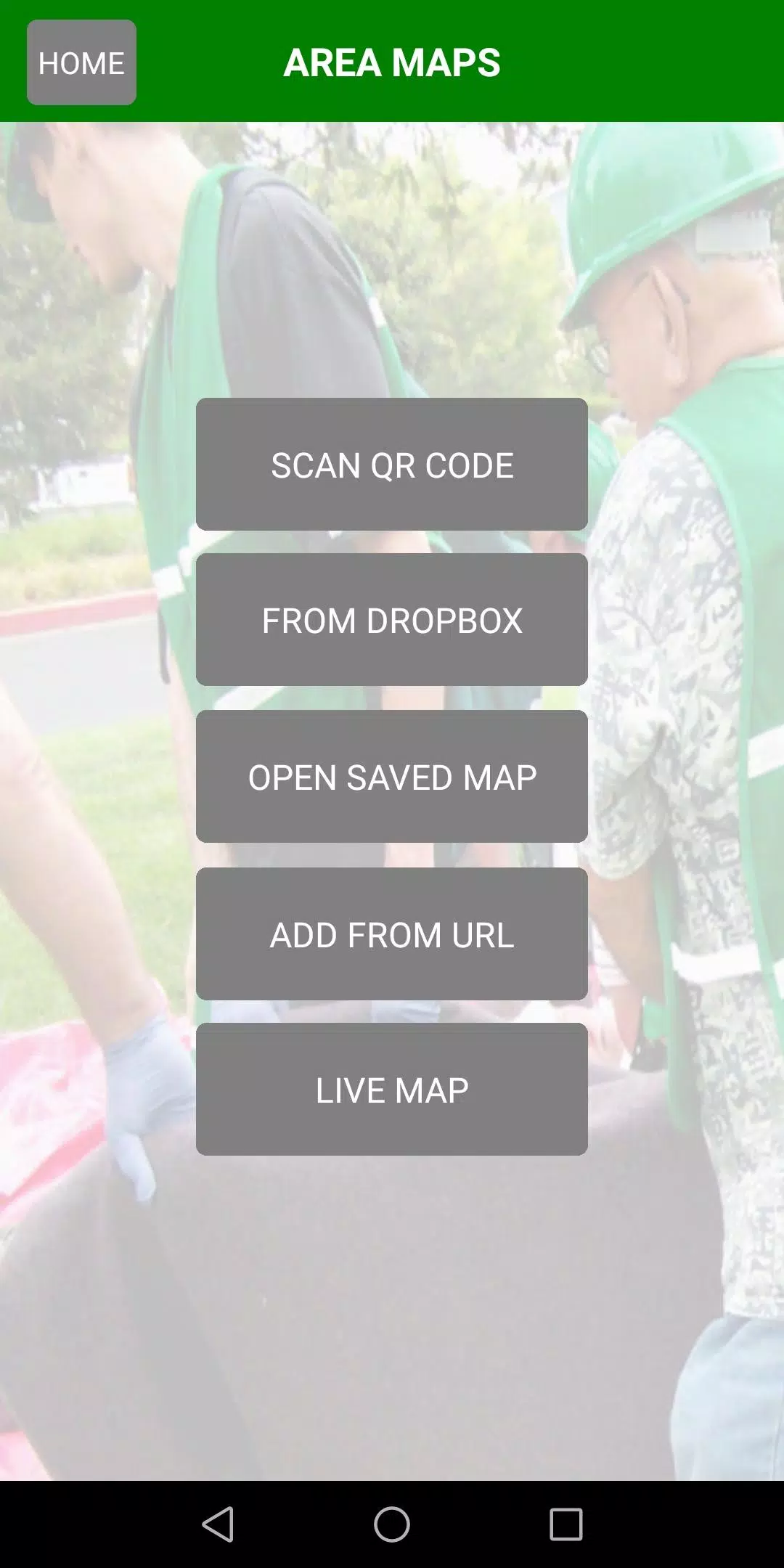
CERT Surveyor supports PDF map imports so teams can work from pre-planned charts, evacuation maps or local GIS exports. Waypoint icons and labels are customizable in size and color to improve readability in bright sunlight or at night; map layers can be toggled for satellite, street or high-contrast modes depending on visibility and operational needs. Iconography follows common CERT conventions so users familiar with community emergency response will immediately recognize categories such as hazard, casualty, resource or access point.
Operational value, replay and training
Beyond immediate incident work, the app stores tracks and waypoints that can be replayed for after-action review and training exercises. Teams can reuse exported GPX/KML files to recreate search patterns in desktop tools or to prepare briefings that show where teams swept during an operation. These saved data sets increase replay value by turning routine missions into learning opportunities, supporting continuous improvement in search methodology and local response planning.
Accessibility, offline capability and device considerations
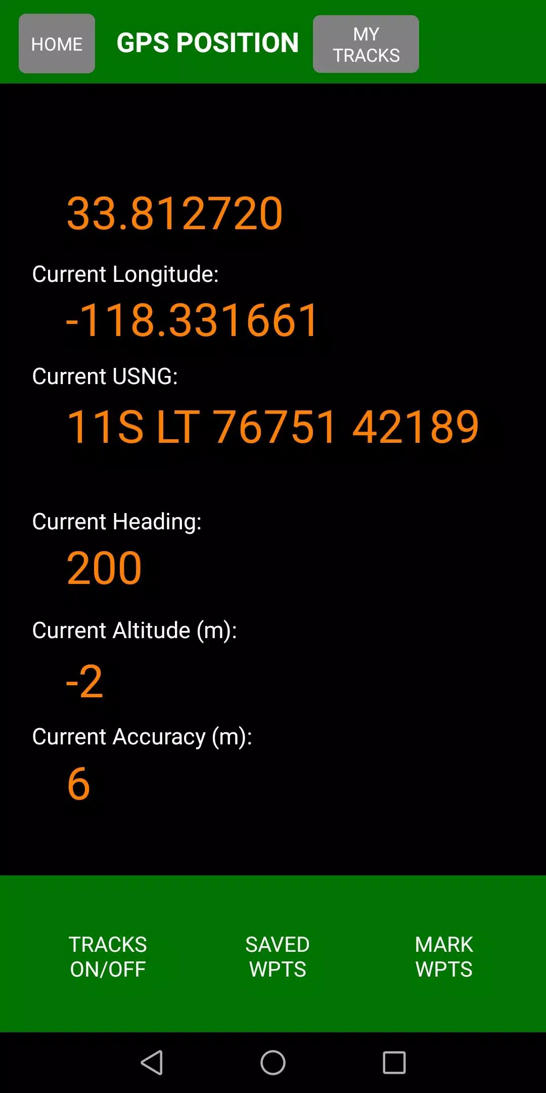
CERT Surveyor places emphasis on accessibility with high-contrast icons, scalable labels and large touch targets to accommodate gloved hands and variable lighting. The offline-first design allows responders to collect complete datasets without a live connection; synchronization can be deferred until a reliable network is available to protect battery life and avoid partial uploads. GPS accuracy indicators and configurable tracking intervals help teams balance precision with device endurance during long field operations.
Limitations and practical requirements
CERT Surveyor requires a website account to upload and centralize data, and some Team Leader monitoring functions are available only in the upgraded Team Leader Edition activated through support channels. Data exports are provided as KML or GPX, so advanced viewing or analysis benefits from compatible GIS software. These trade-offs reflect a focus on reliable, interoperable geodata rather than proprietary formats, keeping field-collected information usable across common mapping tools.
Information
User Comments

Forum Joomla!FR brings the Francophone Joomla community to your phone and tablet, offering fast access to the official French Joomla forum and community resources so you can read, reply and stay informed from anywhere. Forum Joomla!FR centralizes discussions, AFUJ announcements and practical resources in a responsive interface designed to work smoothly on both smartphones and larger screens, helping developers, site maintainers and newcomers keep up with topics and collaborate in French.

Space messenger is a compact messaging application aimed at everyday communication, letting users exchange text and media, organize conversations, and manage contacts in a straightforward interface. It is useful for people who want a simple, efficient way to keep in touch without complex setup; the app's design focuses on clear message threads and quick sharing. Space messenger suits users who prefer a lightweight messaging tool for personal or small-team conversations and who value a no-frills approach to sending messages and viewing chat history.

VSN is a utility and mobile recharge app that lets users pay bills and send IMPS transfers quickly and securely. Designed for people who want to simplify routine payments, VSN combines bill reminders, transaction history, and secure online payments in a single, easy-to-use interface. The app is useful for individuals and small businesses that need a dependable way to manage mobile recharges, electricity, water, and other utility bills without juggling multiple providers. With clear workflows and built-in safeguards, VSN reduces the time spent on payments and helps avoid missed dues.

APP Técnicos is a specialized mobile app designed for technicians who maintain Tennant cleaning equipment, providing a compact, field-ready tool to receive, manage and document service work orders. The app delivers detailed job information—model, serial number, reported faults—so technicians can diagnose and resolve issues quickly. Technicians can update job status in real time, attach photos and notes, and keep a complete service log. Secure, credential-based access ensures only authorized personnel use the system, while offline mode lets teams continue work without connectivity and sync changes when a connection returns.

Kemendesa Corner is a centralized communication and resource app designed to help employees of the Ministry of Desa, Pembangunan Daerah Tertinggal, and Transmigration stay informed and work more efficiently. The application gathers reference materials, news updates, discussion spaces and direct consultation tools into a single interface so staff can quickly find documents, follow program developments and coordinate activities across village development, Bumdes initiatives and transmigration programs. Users who need a reliable internal hub for sharing policy updates, accessing training videos and resolving questions will appreciate how Kemendesa Corner reduces fragmentation and speeds everyday collaboration.

ChubbSurvey is a mobile application built to help officers and staff manage accident investigations and claims more efficiently. The app centralizes scene logging, evidence capture and reporting so teams can record photos, audio notes, descriptive damage assessments and GPS coordinates directly from the field. Organizations choose ChubbSurvey to reduce paperwork, keep stakeholders informed with automated alerts and ensure consistent, professional documentation that speeds up claim processing. Designed for both on-site and remote use, it helps surveyors and insured companies locate incidents precisely and maintain organized exploration records from first assessment through final reporting.