

 X
 facebook
 WhatsApp
 Email
Introduction
Bahrain Offline Map is a compact, easy-to-use navigation app designed to help residents and visitors explore Manama, the Bahrain Islands and surrounding areas without relying on a mobile connection. The app places searchable, detailed map tiles and points of interest on your device so you can plan routes, check distances and follow visual directions while saving mobile data. With clear tabs for Explore, Navigate, Guides and Settings, Bahrain Offline Map focuses on quick access to the functions people use most when traveling or commuting in a low-connectivity environment.
Key features and what they do
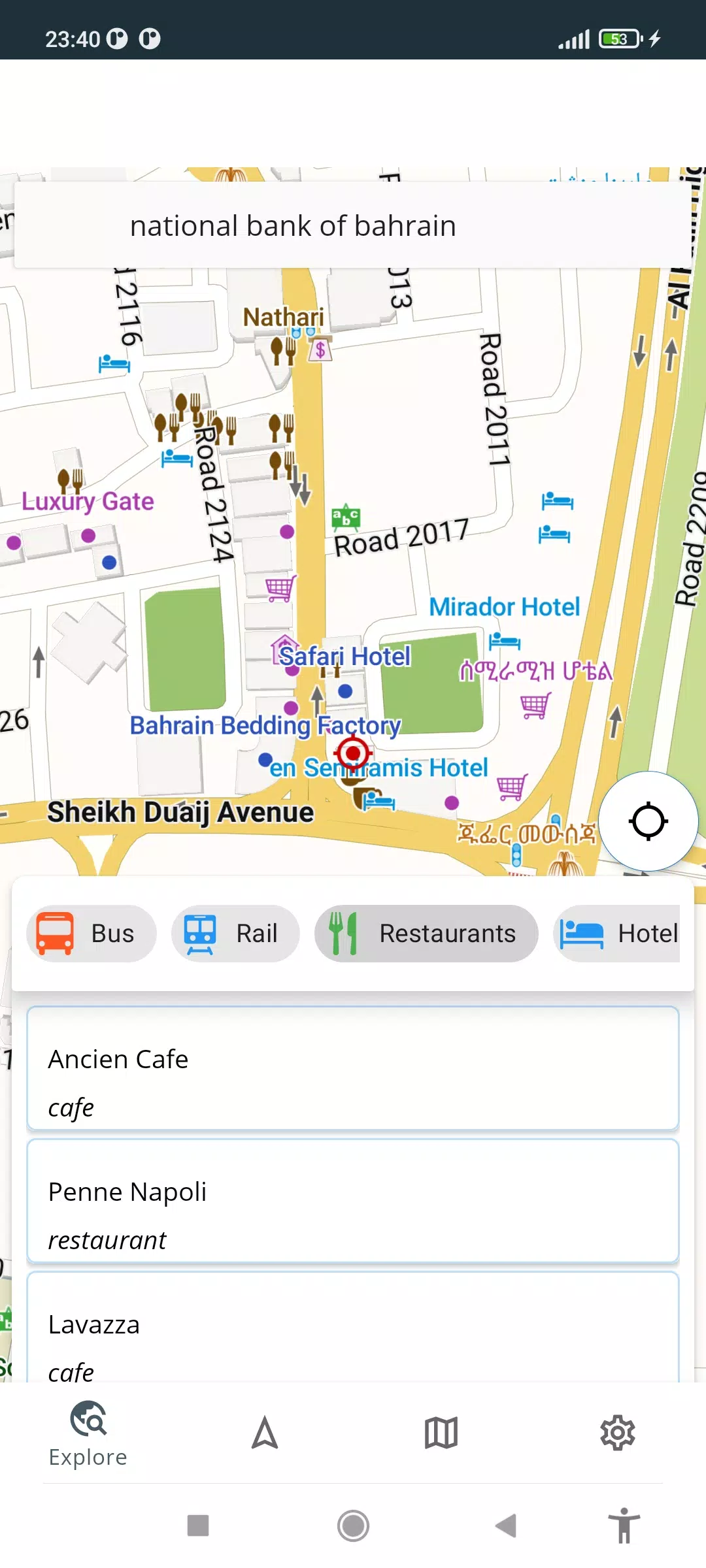
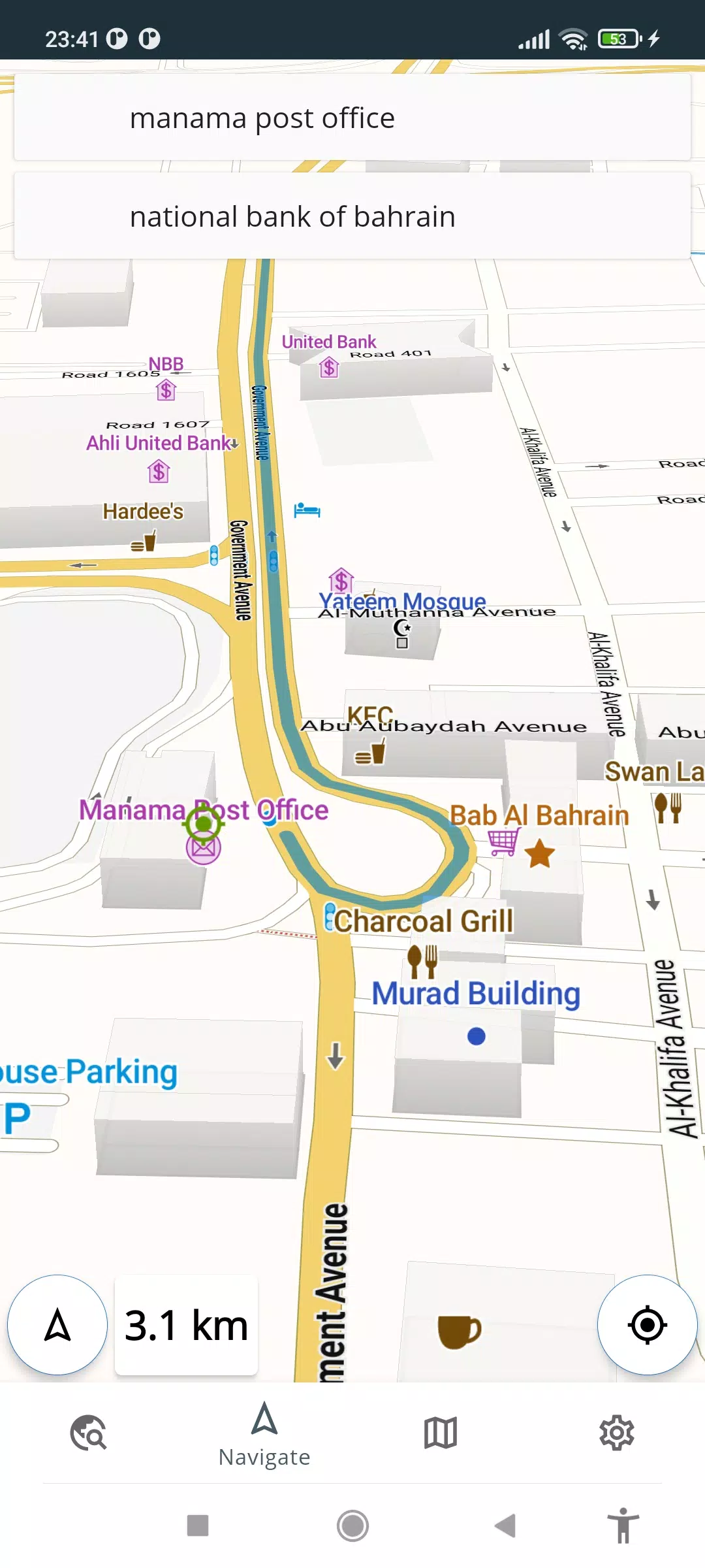
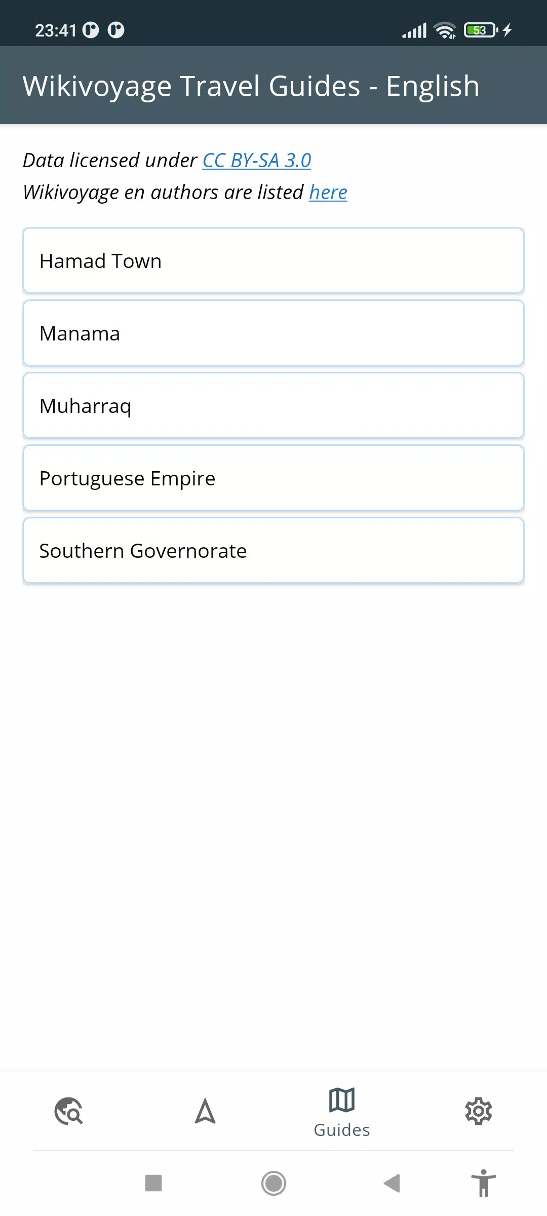
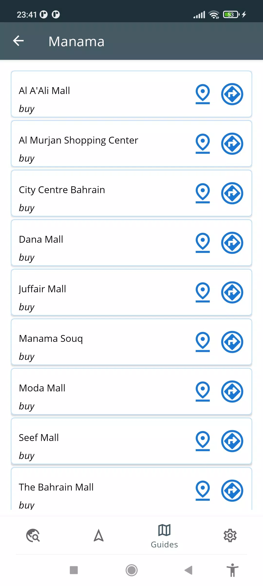
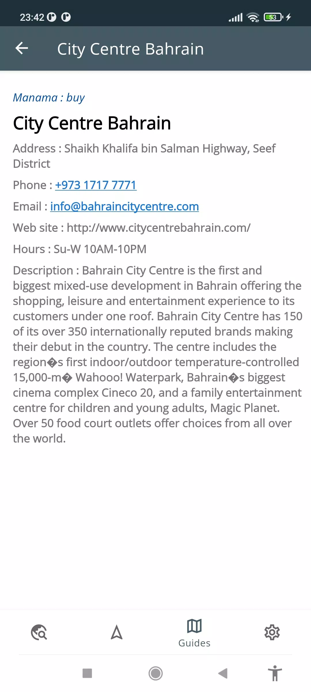
The Explore tab provides a searchable index of POIs such as attractions, restaurants, hotels, pharmacies and hospitals; tapping an item opens its location on the map and shows distance from your current GPS position. The Navigate tab allows you to create routes between any two points and displays the route geometry on the map with estimated distance and turn-by-turn visual cues so you can follow the path while driving or walking. The Guides tab integrates Wikivoyage content for destinations in Bahrain and nearby areas, offering short informational entries and direct navigation to guide-listed sites using the coordinates embedded in those entries. Settings let you manage downloaded map regions and adjust display preferences and filters for POI categories so the app fits your travel style.
Controls, map interaction and visual style
Interaction is intentionally simple: pinch to zoom, drag to pan, tap to inspect a location and long-press to drop a temporary marker when planning a custom route. Map styling favors high-contrast colors and readable labels so streets, parks and coastline remain clear in bright daylight or dim conditions. Zoom levels reveal progressively more detail: broad overviews at region level, street names and local POIs at intermediate scales, and finer features such as building outlines and small service icons at close zoom. These visual choices improve legibility during driving and on-foot navigation without adding distracting elements.
Progression, offline play and data management
Progression in Bahrain Offline Map revolves around managing offline content rather than levels or achievements: you download regional map packs for the islands or specific governorates to a device and update them from time to time when a connection is available. The app shows the size of each region and the date it was last updated in Settings so you can control storage use. Offline search and routing operate against these local tiles and indexing data, so once a region is downloaded you can perform searches, compute routes and read guide excerpts entirely without a live network connection.
Customization, filters and personalization
Filters let you tailor visible POI categories to your current needs: show only hotels and restaurants when planning accommodation, or reveal healthcare and pharmacy locations when preparing for a long trip. Display options in Settings allow modest personalization such as label density, metric or imperial distance units and whether to show speed and coordinate readouts on devices with compatible GPS sensors. These small controls help adapt Bahrain Offline Map to different users, from tourists exploring public beaches to drivers navigating narrow inner-city streets.
Accessibility and device compatibility
The app is mindful of accessibility: text size options increase label legibility, high-contrast map themes support users with reduced vision, and large-touch targets in the Explore and Navigate tabs reduce accidental taps. GPS-based features rely on the device’s location services and sensor accuracy, so while most modern phones will display position and movement reliably, some older or budget devices may show reduced precision; the app surfaces this dependency in Settings so users understand limitations.
Challenge systems, replay value and practical use cases
Challenge in this context is practical rather than gamified: planning efficient driving routes across island bridges, discovering lesser-known cultural sites listed in the integrated guides, or mapping multiple stops for a day trip are recurring tasks that reward repeated use. The ability to explore saved regions offline encourages re-use during repeat visits or when traveling through areas with intermittent coverage. Whether you are conducting an extended stay, a brief business trip or a day of sightseeing, Bahrain Offline Map aims to reduce navigation friction and make exploration more predictable.
Limitations and realistic expectations
Because the app concentrates on Bahrain, map detail and POI coverage outside the country can be more limited; routing and guide depth depend on the available data sources, and travel guide content is drawn from Wikivoyage entries which vary in completeness. GPS-derived speed and some device-specific telemetry depend on your phone’s sensors. Bahrain Offline Map is best seen as a reliable, privacy-friendly tool for offline routing and local discovery rather than a full replacement for cloud-based navigation services.
Information
 Google Play
User Comments

DIGITAL ELD is an electronic logbook app that helps drivers and fleet managers stay compliant with Hours of Service rules and FMCSA ELD mandates while reducing paperwork and errors. The app records Records of Duty Status (RODS), automates duty status entries, and delivers real-time fault alerts so fleets can respond quickly. Drivers get a streamlined interface for everyday logging, and managers gain GPS tracking, IFTA fuel-tax reporting, and analytics to monitor performance and fuel economy. If you need accurate logs, timely notifications, and tools to optimize routing and fleet health, DIGITAL ELD offers a practical, compliance-focused solution.

Volt Driver is a professional driver app designed for service providers working inside Volt Mobility Co-Ops, offering a suite of tools to manage paid shifts, accept on-demand trips and deliveries, and maintain rider safety and service quality. The app connects W-2 drivers with a range of electric mobility services—eBike and eScooter rentals, eCar ride-sharing, guided eVehicle tours and local deliveries—while centralizing trip assignments, in-app emergency access, and post-service feedback and tipping options.

Advili driver is a mobile application that connects vehicle operators with customers for on-demand transport, freight and towing services, offering a single interface to accept jobs, navigate routes and manage work hours. The app supports motorcycles, personal cars, pickup trucks, freight trucks and towing vehicles, making it attractive for drivers who want flexible schedules, formal registration and real-time routing tools. Drivers can install the app on compatible mobile devices and submit a cooperation request in their city to complete free registration, so new partners can join the network quickly and start earning with their own vehicles.

金华行 is an all-in-one city life app by Jinhua Bus Group that centralizes public transport, local shopping and news to make everyday routines smoother for residents and visitors in Jinhua. The app provides real-time bus tracking, flexible ticket purchasing and an integrated e-commerce section so you can plan journeys, buy essentials and follow community updates without switching between multiple services. With an intuitive interface and services focused on greener urban mobility, 金华行 helps reduce waiting time, improve trip planning and keeps users informed—making it a practical tool for commuting, errands and staying connected to local life.

Map of Wales offline is a compact navigation app that provides detailed, downloadable maps of Wales for use without an internet connection, ideal for travelers, hikers and anyone heading into remote areas. The app offers high-resolution, mobile-optimized map tiles, GPS-based positioning, offline search and a curated database of points of interest so you can find trails, towns and landmarks even when there is no data signal. Designed for phones and tablets, Map of Wales offline keeps maps up to date with free updates and is intended to be easy to use for quick trip planning or longer backcountry excursions.

HydroLimpia companion is a workshop-focused Android app that helps mechanics and vehicle owners operate, monitor and document engine cleaning sessions with HydroLimpia devices, including HydroLimpia 4.0-compatible systems. The app is written to support the real-world workflow around oxyhydrogen engine cleaning: from setup checks and cycle selection to live progress monitoring, logging and post-service reports, so users can manage maintenance tasks from a phone or tablet while keeping a clear record for each vehicle.