
 X
 facebook
 WhatsApp
 Email
Introduction
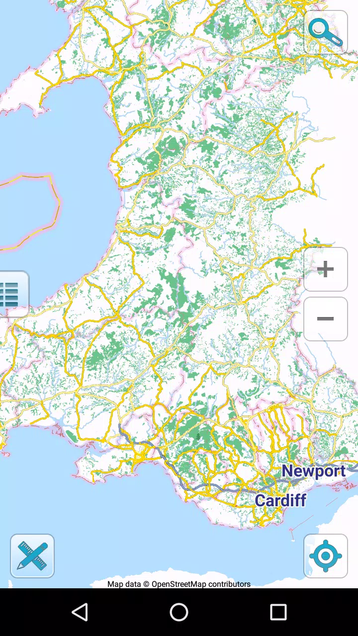
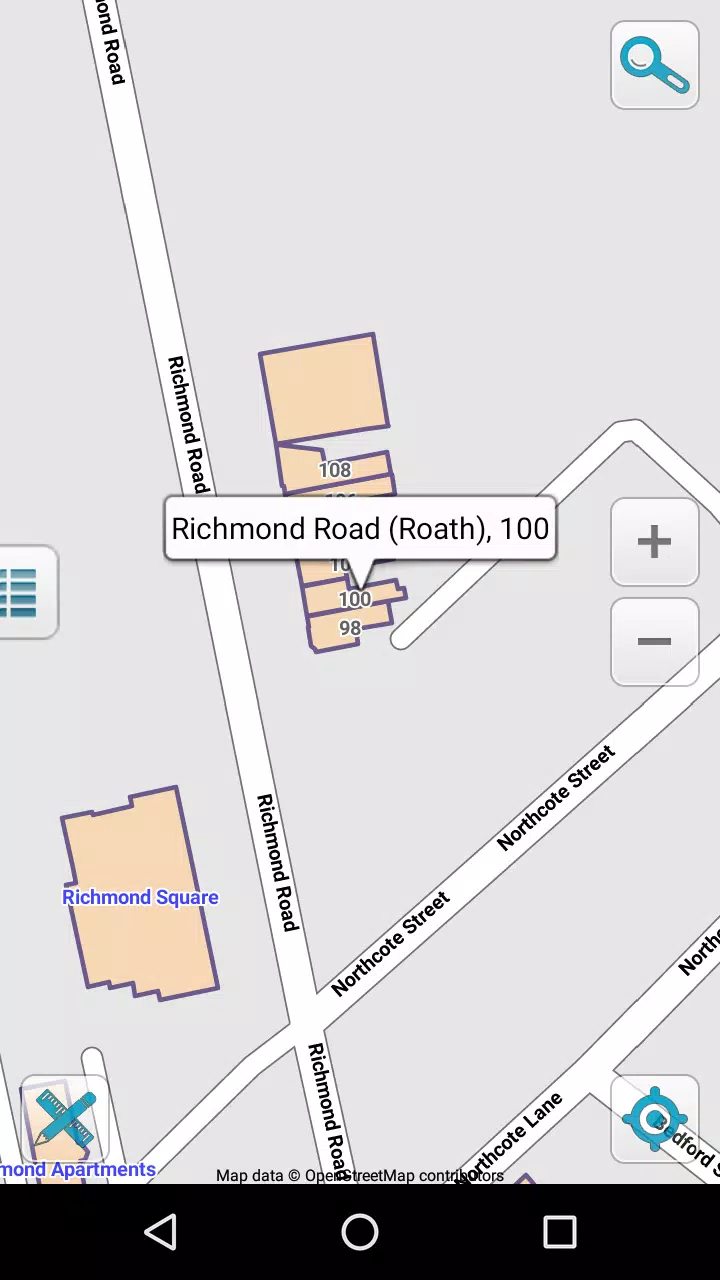
Map of Wales offline is a compact navigation app that provides detailed, downloadable maps of Wales for use without an internet connection, ideal for travelers, hikers and anyone heading into remote areas. The app offers high-resolution, mobile-optimized map tiles, GPS-based positioning, offline search and a curated database of points of interest so you can find trails, towns and landmarks even when there is no data signal. Designed for phones and tablets, Map of Wales offline keeps maps up to date with free updates and is intended to be easy to use for quick trip planning or longer backcountry excursions.
Core features and how they work
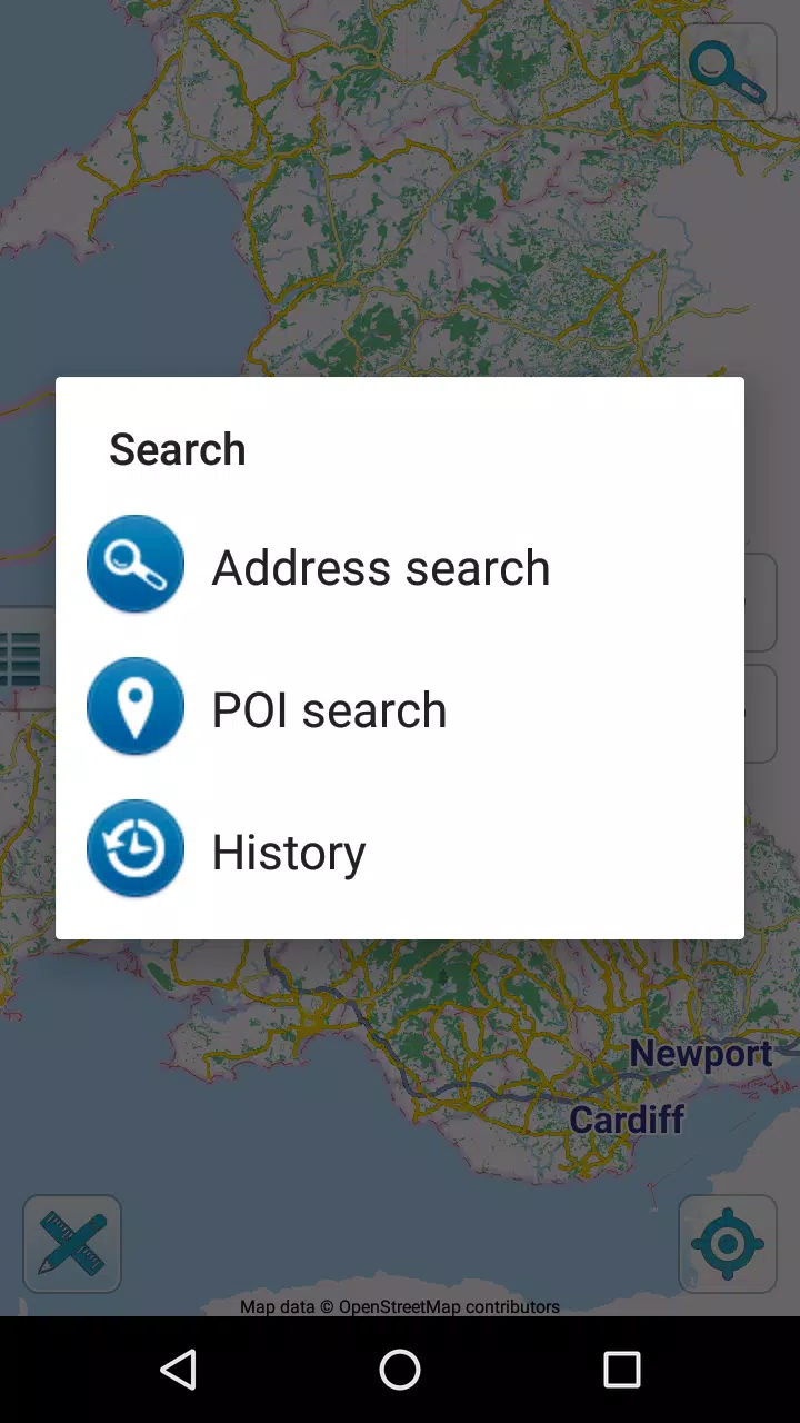
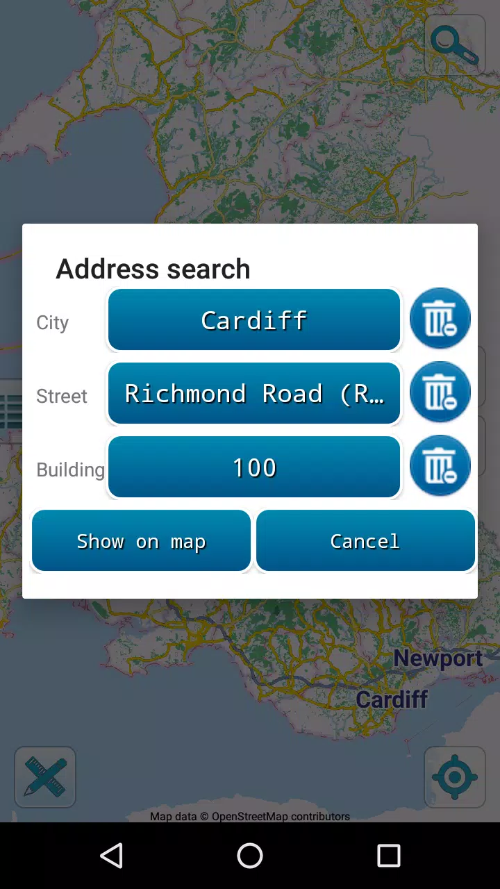
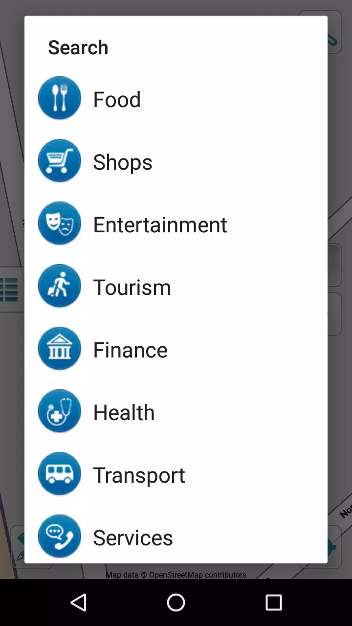
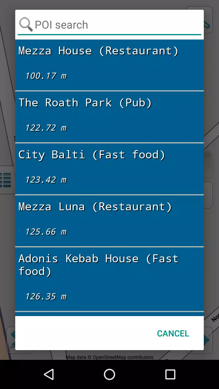
The primary functionality centers on downloadable map packs that store map tiles and POI data on your device so all navigation functions run without cellular service. GPS location is shown on the map in real time, and the offline search lets you find place names, towns and landmarks from the stored index. Tapping a point of interest opens descriptive text and distance information, and location sharing by email or SMS lets you send a simple link or coordinates to contacts when you need to. Map data is sourced from openly licensed datasets and the app applies incremental updates over Wi‑Fi so files remain current without repeated large downloads.
Controls and user experience
Interaction relies on familiar touch gestures: pinch to zoom, drag to pan, and single taps to inspect POIs. The interface emphasizes clarity and legibility, with large labels and contrast settings that remain readable on bright, outdoor screens. Map layers are presented in a straightforward way so users can toggle displays and focus on trails, road networks or coastal detail. Saving a location or marking an item of interest is handled through the POI interface, which keeps saved entries accessible across sessions without requiring an account.
Offline planning and progression tools
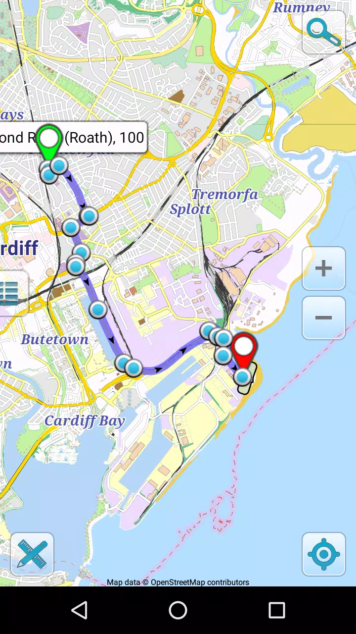
Preparing for a trip involves selecting the regions you need and downloading the corresponding map packs; this lets you stage an itinerary and reduce storage use by removing areas you no longer require. The app records recent searches and visited places so you can quickly resume planning where you left off. While Map of Wales offline does not provide live routing or turn-by-turn guidance, its offline search and clear visual detail make it practical for wayfinding, route rehearsal and comparing several alternative paths before you head out.
Visual style and map detail
The visual presentation favors high-resolution raster tiles optimized for mobile screens, showing clear topographic and road detail suitable for both coastal walks and inland hikes. Labels are rendered at sizes chosen for readability at common zoom levels and the color palette balances contrast for sunny conditions and dusk. High-resolution imagery helps with recognizing town shapes and key landmarks, while zooming preserves detail so the map remains useful at both overview and close-in scales.
Customization, accessibility and performance
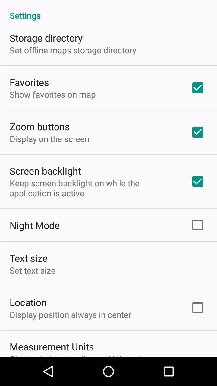
Users can control download quality to balance visual detail and storage consumption, and the app includes settings to optimize battery and GPS sampling intervals for longer outings. Accessibility considerations include readable fonts, adjustable label sizes and support for screen magnification tools on the device. Performance is tuned to run smoothly on a wide range of Android phones and tablets, with map tiles cached intelligently to limit repeated reads and conserve device resources.
Practical use cases and replay value
Map of Wales offline is built for repeated use across many kinds of trips: weekend hikes in Snowdonia, coastal drives in Pembrokeshire, urban sightseeing in Cardiff or multi-day camping routes. Because maps and POIs can be updated and re-downloaded for new areas, the app remains useful year after year for planning and exploration. The offline-first design ensures that the app continues to provide value in areas with unreliable coverage, making it a dependable companion on repeated outdoor excursions.
Limitations and notes
The app focuses exclusively on the geographic region of Wales, so it is not intended for navigation elsewhere. Accurate positioning requires a device equipped with GPS hardware; in the absence of GPS the map can still be inspected but live location features will be limited. The app does not include live traffic, multiplayer features or cloud-based routing, and users who require turn-by-turn navigation should pair Map of Wales offline with dedicated routing tools. Map content is provided under open licenses and is updated periodically rather than in real time.
Information
 Google Play
Other Games by the Same Map Apps


The Remote App Tool collection includes many Android apps that allow remote control. With the growing number of smart devices, it's easy to misplace remotes. These apps solve that problem, offering a convenient, free way to control your devices. They provide great convenience for your daily life!





User Comments

DIGITAL ELD is an electronic logbook app that helps drivers and fleet managers stay compliant with Hours of Service rules and FMCSA ELD mandates while reducing paperwork and errors. The app records Records of Duty Status (RODS), automates duty status entries, and delivers real-time fault alerts so fleets can respond quickly. Drivers get a streamlined interface for everyday logging, and managers gain GPS tracking, IFTA fuel-tax reporting, and analytics to monitor performance and fuel economy. If you need accurate logs, timely notifications, and tools to optimize routing and fleet health, DIGITAL ELD offers a practical, compliance-focused solution.

Volt Driver is a professional driver app designed for service providers working inside Volt Mobility Co-Ops, offering a suite of tools to manage paid shifts, accept on-demand trips and deliveries, and maintain rider safety and service quality. The app connects W-2 drivers with a range of electric mobility services—eBike and eScooter rentals, eCar ride-sharing, guided eVehicle tours and local deliveries—while centralizing trip assignments, in-app emergency access, and post-service feedback and tipping options.

Advili driver is a mobile application that connects vehicle operators with customers for on-demand transport, freight and towing services, offering a single interface to accept jobs, navigate routes and manage work hours. The app supports motorcycles, personal cars, pickup trucks, freight trucks and towing vehicles, making it attractive for drivers who want flexible schedules, formal registration and real-time routing tools. Drivers can install the app on compatible mobile devices and submit a cooperation request in their city to complete free registration, so new partners can join the network quickly and start earning with their own vehicles.

金华行 is an all-in-one city life app by Jinhua Bus Group that centralizes public transport, local shopping and news to make everyday routines smoother for residents and visitors in Jinhua. The app provides real-time bus tracking, flexible ticket purchasing and an integrated e-commerce section so you can plan journeys, buy essentials and follow community updates without switching between multiple services. With an intuitive interface and services focused on greener urban mobility, 金华行 helps reduce waiting time, improve trip planning and keeps users informed—making it a practical tool for commuting, errands and staying connected to local life.
Map of Wales offline is a compact navigation app that provides detailed, downloadable maps of Wales for use without an internet connection, ideal for travelers, hikers and anyone heading into remote areas. The app offers high-resolution, mobile-optimized map tiles, GPS-based positioning, offline search and a curated database of points of interest so you can find trails, towns and landmarks even when there is no data signal. Designed for phones and tablets, Map of Wales offline keeps maps up to date with free updates and is intended to be easy to use for quick trip planning or longer backcountry excursions.

HydroLimpia companion is a workshop-focused Android app that helps mechanics and vehicle owners operate, monitor and document engine cleaning sessions with HydroLimpia devices, including HydroLimpia 4.0-compatible systems. The app is written to support the real-world workflow around oxyhydrogen engine cleaning: from setup checks and cycle selection to live progress monitoring, logging and post-service reports, so users can manage maintenance tasks from a phone or tablet while keeping a clear record for each vehicle.